Seventy-five years after the Battle of Normandy, the Canadian Research and Mapping Association is making the largest seaborne invasion in history accessible to everyone, with support from Veterans Affairs Canada (VAC)'s Commemorative Partnership Program.
Establishing a digital beachhead
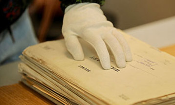
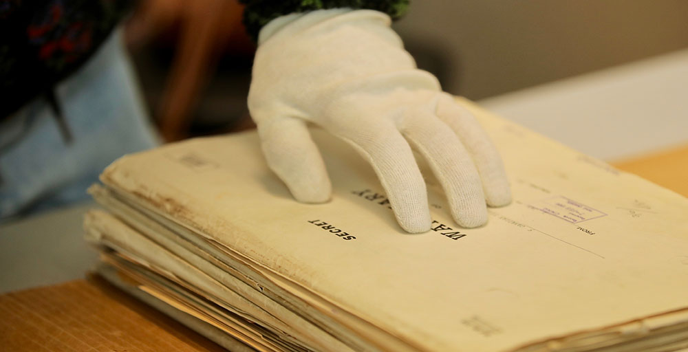
Much of the history of the Second World War is captured in the Army's war diaries, sometimes complemented by maps, aerial photography and after action reports. Examples include the murdered Canadians of the Pollard Williams patrol at the Abbaye d'Ardenne, or that of Worthington Force, where a battlegroup of the 28th Canadian Armoured Regiment (British Columbia Regiment) made a wrong turn, and strayed five kilometers from its objective. The patrol's commander realized the mistake too late: they had walked into a German ambush, and the unit was wiped out in one day.
A memorial now stands on the location of the ambush, where Canadian soldiers lost their lives. However, not every Canadian can easily comb through Army records or visit the site. Nathan Kehler, Drew Hannen and Julien Brown of the Canadian Research and Mapping Association have done both, and hope that Project ‘44 will both preserve and share the triumphs and tragedies of Canadian soldiers.
Turning the historical records into an online experience involved challenges: the grid system that the Army used for mapping no longer exists, and some of the war diaries—which individual regiments would use to record locations and events—are missing. Many of the records are on microfilm. Looking through the records at Library and Archives Canada, Julien was impressed by what the Army had recorded, and by what was still unfound. 'It was an incredible feeling to explore these documents,' he said. 'By bringing the diaries and the maps together, we could give these records a second life online.'
Fortunately, many contributors are happy to share these records. Along with massive contributions of records from Library and Archives Canada and regimental museums and archives across Canada, the Association digitized more than 2,000 maps from the Garrison of Petawawa Museum and the Stormont, Dundas and Glengarry Highlanders' museums and archives, just to name a few.
'It was all accessible already, but accessibility today means being able to find it online,' adds Nathan, who served in the Canadian Armed Forces as an armoured trooper and then a cartographer. 'If your grandfather didn't want to talk about his experience in the War, you can find the war diary on Project '44, find out where his unit was, and what happened each day.'
Project '44 went live on June 6, 2019, the 75th anniversary of the invasion. Even in its beta stage, the online map is much more than a document trove, says Drew. 'Not everyone knows where Normandy is, and this can help to orient them … but then you can zoom into micro detail. You can see how many armoured units were in a particular section, such as Caen. Then, if you're interested in what a unit was doing there, you can hop into a war diary, and find out what they saw and what they did—sometimes even down to the platoon level.' Throughout the map, photographs are tagged to their locations. This 'sandbox tool,' as Nathan calls it, is easy for students to explore on their own.
Crowdsourcing reinforcements
Project '44 is attracting other audiences: the Association hopes that crowdsourcing will help bring the Battle of Normandy into sharper focus. 'Local regiments have their own historians, who can provide a deeper level of detail at the company and platoon levels,' says Nathan. Meanwhile, he and others are expanding the map's reach to include all branches of the military, as the initial experience focuses on the Canadian First Army. The Association is working on ways to integrate the Navy and Air Force support, which were critical to the campaign's success. They're also working on a 'create your own story' feature, as Julien describes it. 'You might have a picture, a soldier's name, or a unit number. You go into the map with that information, kind of like a historical detective, and see what you can uncover, discovering the paths Veterans took on the road to liberation 75 years ago.'
Through its Commemorative Partnership Program, VAC is helping Canadian Research and Mapping Association to develop this next stage of Project '44. This funding allows Nathan, Julien and Drew to build up the database and the capability to make updates on the fly, allowing users to create data. 'If you had a photo of your grandfather in Normandy, you could add it to the database and georeference it, just as with Google Earth,' says Nathan. Then, the photo could be connected to the war diaries, the maps, and other photos, unlocking unprecedented educational opportunities.
'We're proud to be working with partners such as VAC and Library and Archives Canada to contribute to Canadian military heritage,' says Julien, but that's just a start. Military organizations and national archives in Europe have shown interest in Project '44, as has the US Marine Corps—and regimental associations much closer to home. 'We want the Regiments to participate, but also to give their blessing, which brings validity to what we're doing. And after all it is their history.' The team was even able to draw on the expertise of George Fouchard, a corporal and cartographer in the Battle of Normandy.
The end result is a growing tapestry of defining moments in Canadian military history, woven from the threads of individual stories. Two of those threads are the stories of Lieutenant Fred Williams and Lance Corporal George Pollard, who were captured while on patrol, and then murdered by the SS. Through Project '44, Corporal Pollard's nephew, Greg Pollard, was able to learn what happened that day. In a letter, he said: 'Nathan was able to take the maps and locations from the diary and show me exactly the spot where my uncle was captured. This was like closure for me and my family. We had so many unanswered questions about the patrol.'
The Project '44 team made its way to Normandy for the 75th anniversary commemorations in June 2019. As Drew describes it, 'With the Project '44 web map on our phones, we walked in the same ground as the Pollard-Williams patrol did in the summer of 1944 and the entire experience was very humbling.'
What's next? The Association is currently working on the second part of Project '44: The North West Europe Campaign, and mapping the advance of the First Canadian Army and its allies up until the end of the Second World War. Project '45: The Road to Liberation will officially launch at the May 2020 Canadian Tulip festival and at international events coinciding with other Liberation 75 celebrations.
You can visit the beta web map today at Project '44: The Road to Liberation. If you'd like to be involved, email the team.
Support for community projects
Organizations planning similar projects can apply for support through the Commemorative Partnership Program. Funding is available for:
- Community Engagement projects – such as educational events or storytelling initiatives
- Community War Memorials projects – such as restoring or building monuments
To learn more or apply, visit Commemorative funding programs.