
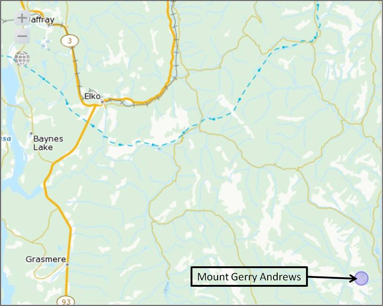
Mount Gerry Andrews is named in honour of Lieutenant Colonel Gerald Smedley Andrews CM, MBE, OBC. The mountain was named by the Government of British Columbia on March 10, 2011.
Gerald Smedley Andrews was born in Winnipeg and initially worked as a teacher in British Columbia. He went on to obtain a Forestry degree before undertaking graduate studies in aerial photogrammetry at Oxford and Dresden, Germany. With the onset of the Second World War, he joined the military and was commissioned in the Royal Engineers before transferring to the RCE in July, 1940. Assigned to 1 Canadian Corps Field Survey Company, the ensuing years saw him progress in rank and responsibility. In June 1943, General McNaughton assigned him to create an Air Survey Section for the Canadian Army Overseas. One of his greatest accomplishments involved preparations for D-Day. There was a desperate need for detailed hydrography of approaches to the invasion beaches in France. Using a method of correlating velocity of beach waves with depth of water and determining the wave velocity from consecutive timed air photos, Gerald’s unit computed and compiled more than 100 beach profiles. He continued to serve until demobilized in March 1946. After the war, he returned to British Columbia where he laid the foundation for BC’s mapping service as Surveyor General and Director of Surveys and Mapping. He retired in 1968 but continued to be active in mapping and surveying. Lieutenant Colonel Gerald Smedley Andrews CM, MBE, OBC, passed away in Victoria in December 2005 at the age of 102.