
This memorial, a height-finder radar antenna, was donated by Canadian Forces Station Lowther.
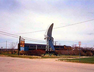
antenna (side)
Paul Ozorak1
of
3
images
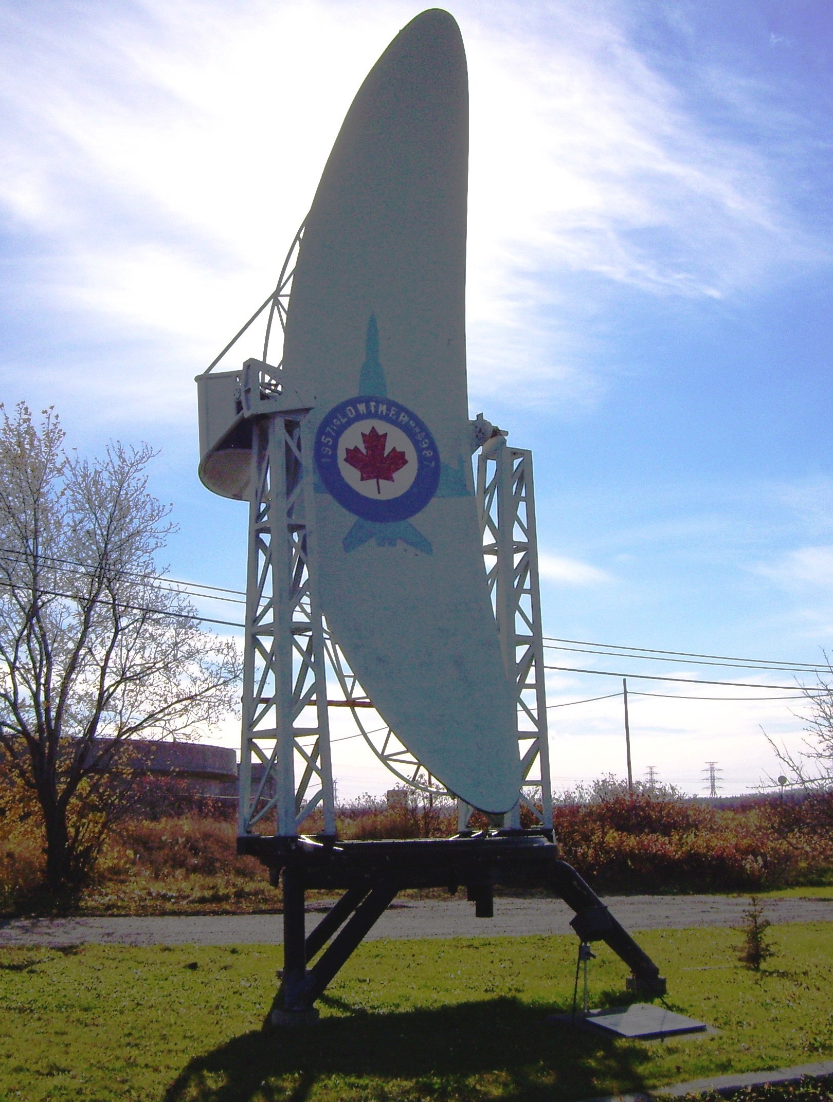
antenna
Julie Latimer, Curator, Ron Morel Memorial Museum, Kapuskasing, Ontario1
of
3
images
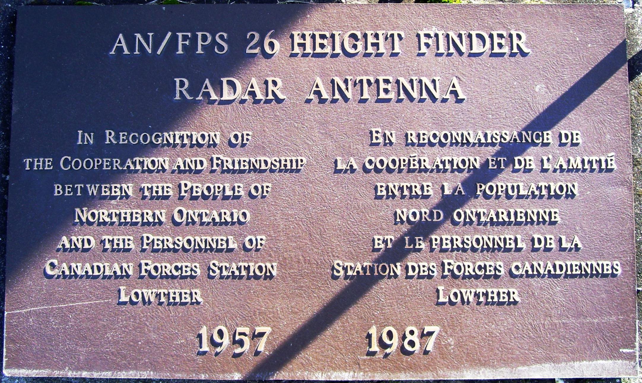
plaque
Julie Latimer, Curator, Ron Morel Memorial Museum, Kapuskasing, Ontario1
of
3
images
Type
Kapuskasing Antenna
Kapuskasing, Ontario
Notice:
The National Inventory of Canadian Military Memorials is a public, crowd-sourced registry that helps Canadians learn about memorials in their communities. Inclusion in the Inventory does not imply VAC ownership or authority. Responsibility for the care, management, and any changes to a memorial rests with its owning or governing organization.
Inscription
AN/FPS 26 HEIGHT FINDER
RADAR ANTENNA
IN RECOGNITION OF
THE COOPERATION AND FRIENDSHIP
BETWEEN THE PEOPLE OF
NORTHERN ONTARIO
AND THE PERSONNEL OF
CANADIAN FORCES STATION
LOWTHER
EN RECONNAISSANCE DE
LA COOPÉRATION ET DE L'AMITIÉ
ENTRE LE POPULATION
NORD ONTARIENNE
ET LE PERSONNEL DE LA
STATION DES FORCES CANADIENNES
LOWTHER
1957 1987
Street View
Location
Kapuskasing Antenna
McPherson Avenue & Government Road East
Kapuskasing
Ontario
Kapuskasing Antenna
McPherson Avenue & Government Road East
Kapuskasing
Ontario
GPS Coordinates
Lat. 49.4127375
Long. -82.425264
Lat. 49.4127375
Long. -82.425264