
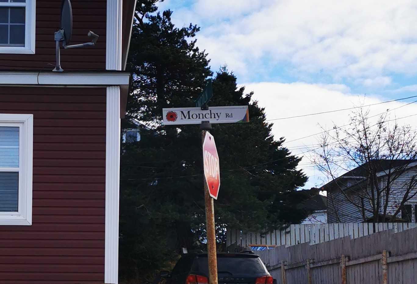
Monchy Road was built in 1920. Just before midnight of April 14, 1917 the Royal Newfoundland Regiment moved forward in single file to the firing trenches on the eastern outskirts of Monchy-le-Preux, a small French village located about 8 km south east of Arras. The two-battalion attack was to be carried out by the 1st Essex Regiment (on the left) and the Newfoundland Regiment, under a creeping barrage.
One-quarter of the Newfoundland officers and men who went into action at Monchy-le-Preux became prisoners of war. The Newfoundland losses incurred from April 12 to 15, 1917, total 460 all ranks. Seven officers and 159 other ranks were killed (or died of wounds), seven officers and 134 other ranks were wounded and three officers and 150 men were taken as prisoners of war. Of these 28 died from wounds or other causes while in captivity.
The courageous actions of the ten defenders of Monchy earned for them considerable accolades and respect from their comrades, their country and their King.
Other streets named from Battles from the Great War include: Beaumont Avenue, Suvla Road, Polygon Road, and Perrone Road. Haig Road was named for the British Field Marshall, later so vilified for the failure of the Somme Offensive, who commanded the British Expeditionary Force, which included the Royal Newfoundland Regiment.