
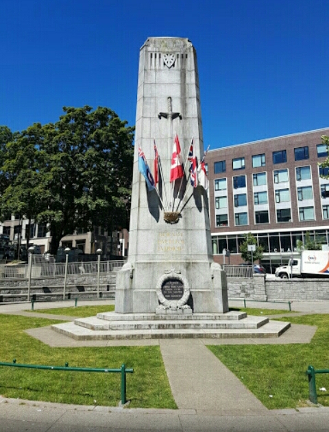
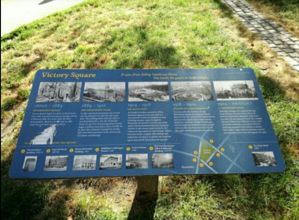
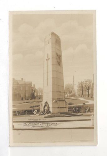
Victory Square was at one time the grounds of the city's provincial courthouse, which was torn down in 1911-13. The location had significance when it was chosen, as it stands at the intersection of the old Granville townsite (aka Gastown) and the CPR townsite, which was the downtown-designated land grant obtained by the CPR as part of the deal to locate the terminus and thereby found the city. The Victory Square Cenotaph is located in this park (see memorial 59026-002).
1
of
4
images
1
of
4
images
1
of
4
images
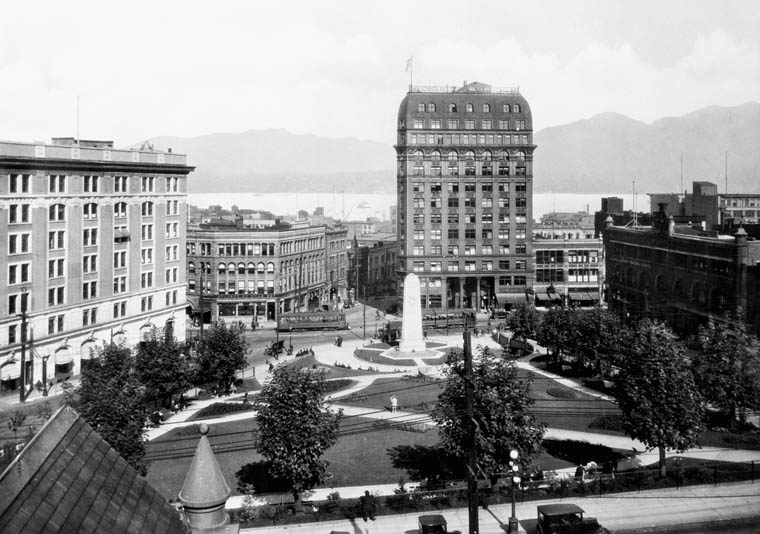
Victory Square showing Cenotaph, Dominion and Province Bldgs
Library & Archives Canada 33349171
of
4
images
Type
Victory Square Park
Vancouver, British Columbia
Notice:
The National Inventory of Canadian Military Memorials is a public, crowd-sourced registry that helps Canadians learn about memorials in their communities. Inclusion in the Inventory does not imply VAC ownership or authority. Responsibility for the care, management, and any changes to a memorial rests with its owning or governing organization.
Street View
Location
Victory Square Park
200 West Hastings Street
Vancouver
British Columbia
Victory Square Park
200 West Hastings Street
Vancouver
British Columbia
GPS Coordinates
Lat. 49.2825862
Long. -123.1097552
Lat. 49.2825862
Long. -123.1097552