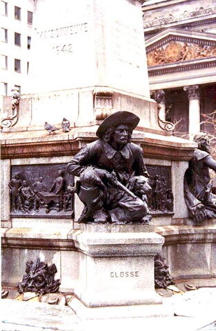
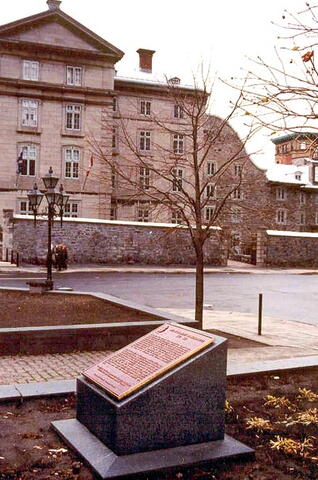
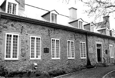
This memorial commemorates the location where Charles Le Moyne and his family once lived. It was erected by the "Ministère des affaires culturelles and the Quebec Historical Monuments Commission.
House of Charles LeMoyne
City/Municipality
Montréal
Memorial Number
24075-028
Type
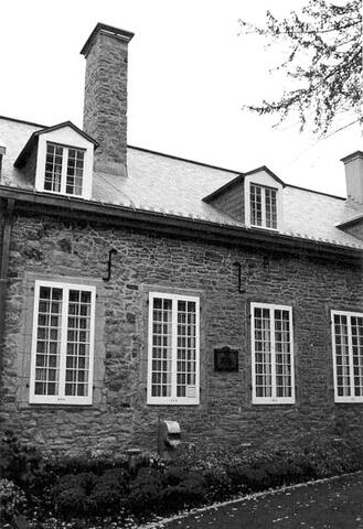
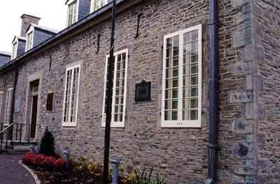
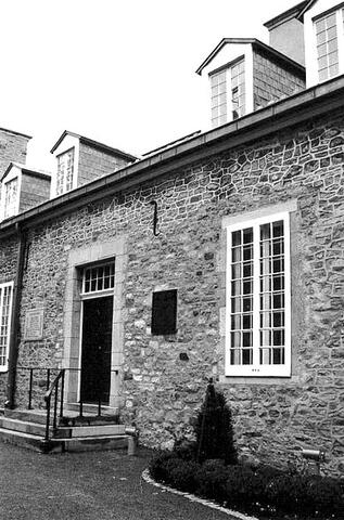
Address
111 Saint-Paul Street West
Location
On the facade of the building at 111 Saint-Paul Street West
in Canada
Yes
GPS Coordinates
45.5040976, -73.5546077
Submitted By
Jacinthe Choinière
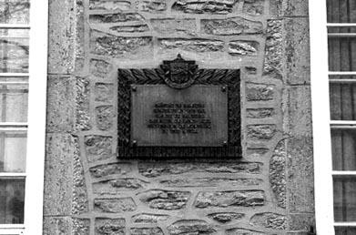
Inscription
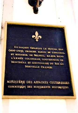
[plaque to the left of doors/plaque à gauche des portes]
ICI NAQUIT CHARLES LE MOYNE, FILS
(1656-1729), PREMIER BARON DE LONGUEUIL,
ET SEIGNEUR DE BELOEIL, MAJOR DANS
L'ARMÉE COLONIALE, GOUVERNEUR DE
MONTRÉAL ET LIEUTENANT DU ROI EN
NOUVELLE-FRANCE.
MINISTÈRE DES AFFAIRES CULTURELLES
COMMISSION DES MONUMENTS HISTORIQUES
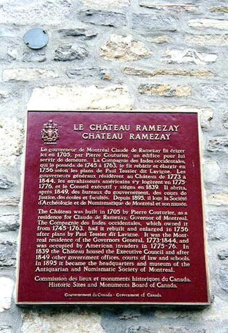
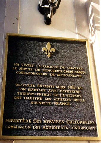
[plaque to the right of doors/plaque à droite des portes]
ICI VIVAIT LA FAMILLE DE CHARLES
LE MOYNE DE LONGUEUIL (1626-1685),
COLLABORATEUR DE MAISONNEUVE.
QUATORZE ENFANTS SONT NÉS DE
SON MARIAGE AVEC CATHERINE
THIERRY-PRIMOT ET LA PLUPART
ONT ILLUSTRÉ LES ANNALES DE LA
NOUVELLE-FRANCE.
MINISTÈRE DES AFFAIRES CULTURELLES
COMMISSION DES MONUMENTS HISTORIQUES
Image
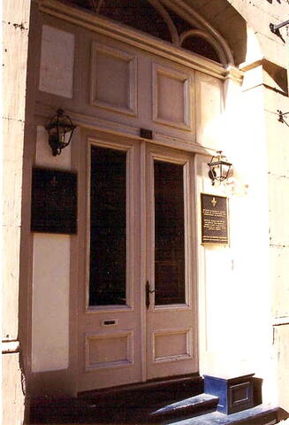
Photo Credit
Jacinthe Choinière
Caption
front view
1
of
3
images
Image
Caption
plaque
1
of
3
images
Image
Caption
plaque
1
of
3
images
Province
!4v1616604060350!6m8!1m7!1sUtjQelbHnjHpgalWjuto9Q!2m2!1d45.50409756656514!2d-73.55460768223824!3f280.1935634180447!4f0.6111198569403911!5f1.1924812503605782"
Body Content
City
Montréal
Country
Display photo gallery on sidebar
Off
Type Description
Two plaques
Memorial CF Legacy ID
6042