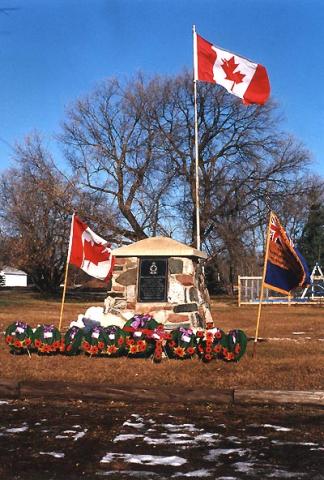
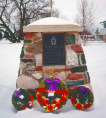
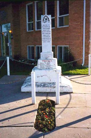
The cairn was erected by the Hafford Remembrance Day Committee.
Hafford Cenotaph
City/Municipality
Hafford
Memorial Number
47012-008
Type
Address
17 Main Street
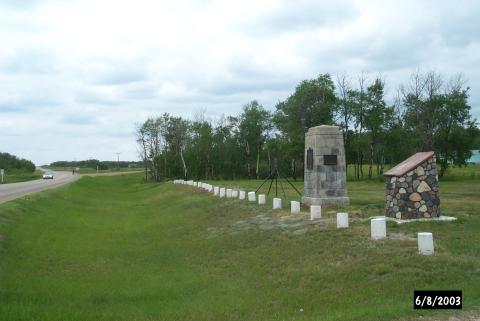
Location
R M of Redberry
in Canada
Yes
GPS Coordinates
52.7275725, -107.3531703
Submitted By
Irene Attrux
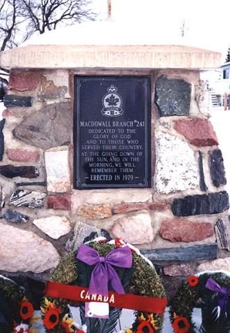
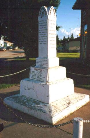
Inscription
IN MEMORY OF
HAFFORD AND DISTRICT SERVICEMEN
WHO SACRIFICED THEIR LIVES
IN WORLD WARS I & II
1914-1918
CARTER, PTE. BERT
EMM, PTE. C.
GOLDIE, LT. A.L.
WILLIAMS, LT. C.
1939-1945
HERMAN, SGT. JOHN
KINDRACHUCK, RFMN. G.
KLAPOUSCHUK, PTE. M.
LEST WE FORGET
REMEMBRANCE COMMITTEE 1984.
Image
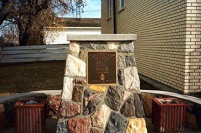
Photo Credit
Irene Attrux
Caption
front view
Province
!4v1621432373624!6m8!1m7!1sXY1sbLtQGqHb7dxu54kkvA!2m2!1d52.72757249515367!2d-107.3531703370325!3f69.57961047977338!4f-6.143287468352796!5f3.325193203789971"
Body Content
City
Hafford
Country
Display photo gallery on sidebar
Off
Type Description
Cairn
Memorial CF Legacy ID
3245