
The Canadian Virtual War Memorial (CVWM) is currently being upgraded to serve you better. You may experience difficulties loading some pages while updates are being made. We are aware of the issues and are working to resolve them. Thank you for your patience.
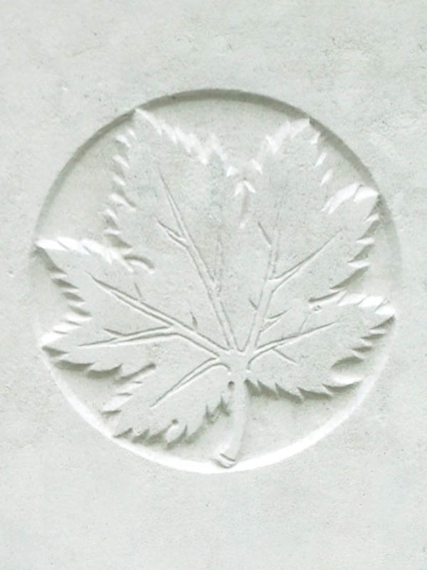
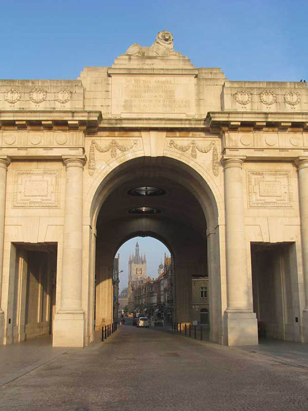
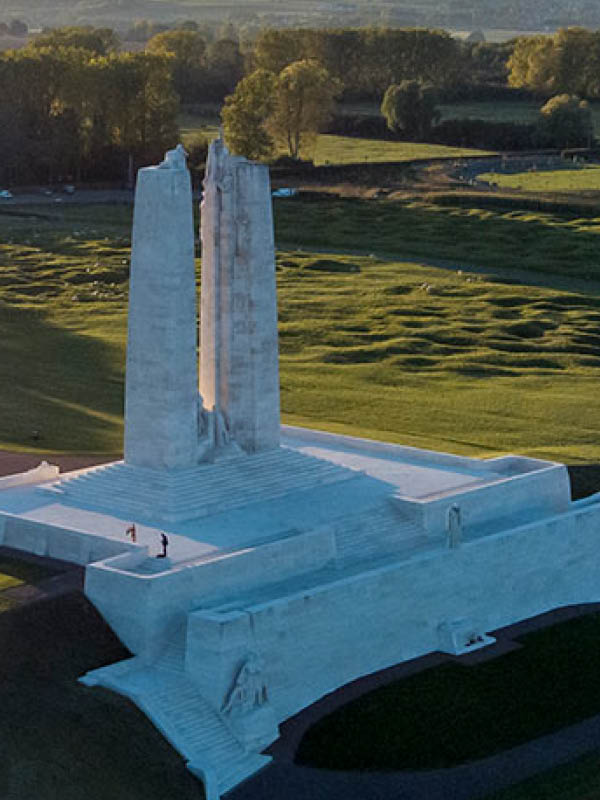
The Canadian Virtual War Memorial (CVWM) is a registry to honour and remember the sacrifices of the more than 118,000 Canadians and Newfoundlanders who, since Confederation, have given their lives serving in uniform. The names of fallen soldiers found in the CVWM are inscribed in the seven Books of Remembrance.
The Canadian Virtual War Memorial also includes the Royal Canadian Mounted Police (RCMP)’s Honour Roll. The RCMP Honour Roll remembers those who lost their lives while performing operational police functions.
Search for a fallen soldier
Explore the CVWM: Today's Honour Roll
Today's Honour Roll is a list of all Canadians or Newfoundlanders who fell on this day in history.
Private Albert Henry Cake
Private Grant Thornton Carmichael
Private Orville Davis
Canada's Mission in Afghanistan
We honour those who lost their lives in service during this conflict.
Master Corporal Scott Francis Vernelli

Corporal Joseph Dany Olivier Fortin

Corporal (Bombardier) Myles Stanley John Mansell
