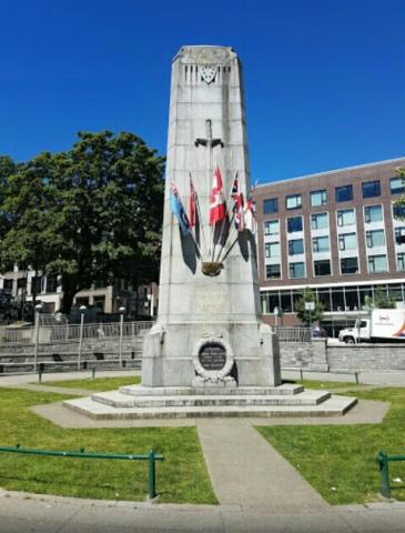
Victory Square was at one time the grounds of the city's provincial courthouse, which was torn down in 1911-13. The location had significance when it was chosen, as it stands at the intersection of the old Granville townsite (aka Gastown) and the CPR townsite, which was the downtown-designated land grant obtained by the CPR as part of the deal to locate the terminus and thereby found the city. The Victory Square Cenotaph is located in this park (see memorial 59026-002).
Victory Square Park
City/Municipality
Vancouver
Memorial Number
59026-019
Type
Address
200 West Hastings Street
Location
Bounded by W Hastings, Cambie, W Pender, and Hamilton streets
in Canada
Yes
GPS Coordinates
49.2825862, -123.1097552
Submitted By
Julie Clements
Inscription
(needs further research/recherche incomplète)
Image
1
of
4
images
Image
1
of
4
images
Image
1
of
4
images
Image
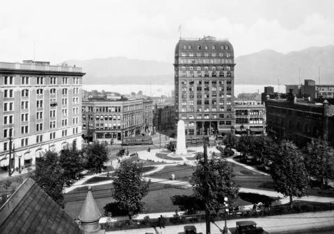
Photo Credit
Library & Archives Canada 3334917
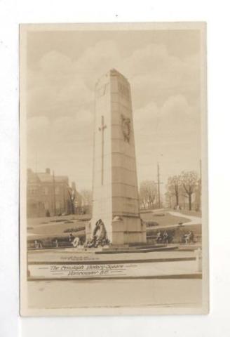
Caption
Victory Square showing Cenotaph, Dominion and Province Bldgs
1
of
4
images
War or Conflict Term
Province
!4v1622550938151!6m8!1m7!1swqSHXAWkRgKJYVxBNVmmYw!2m2!1d49.28258623911707!2d-123.109755225122!3f238.94566902041367!4f3.5610097094396025!5f1.0130512898960262
Body Content
City
Vancouver
Country
Display photo gallery on sidebar
Off
Type Description
Park
Memorial CF Legacy ID
7775